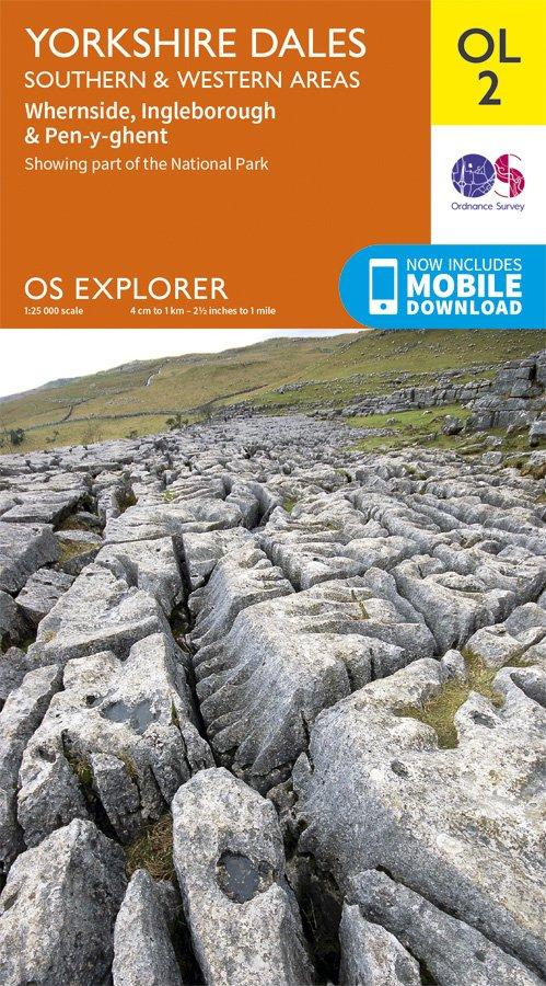
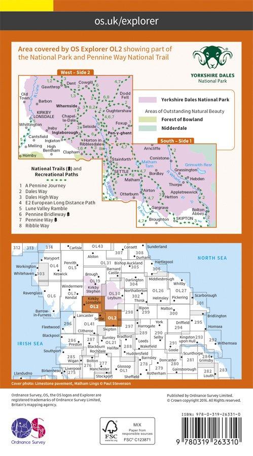
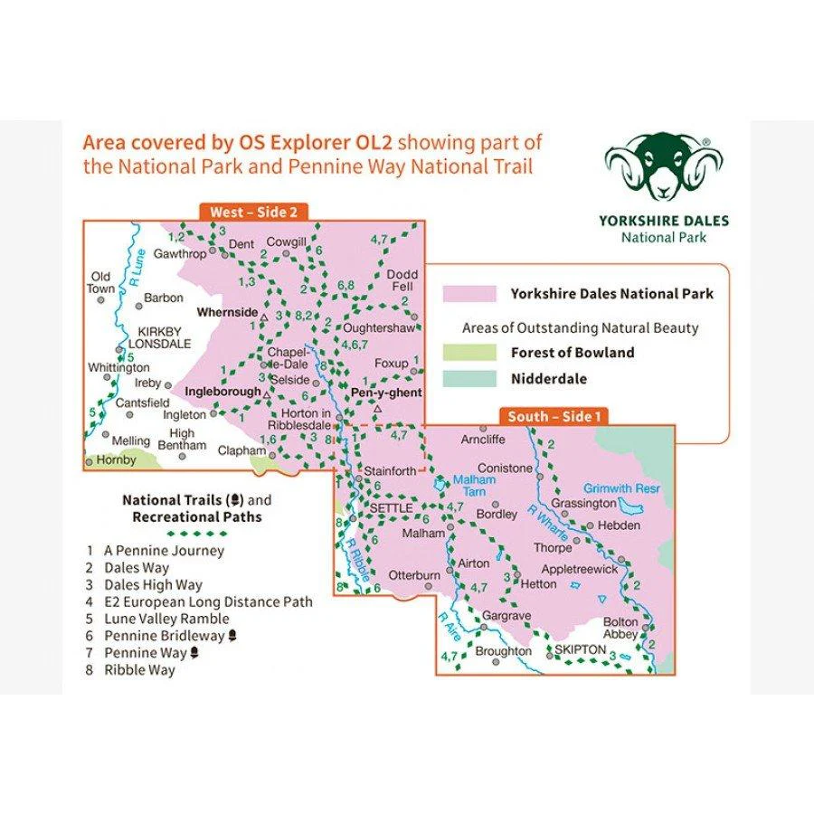
Explorer OL2 Yorkshire Dales - Southern & Western Area Map
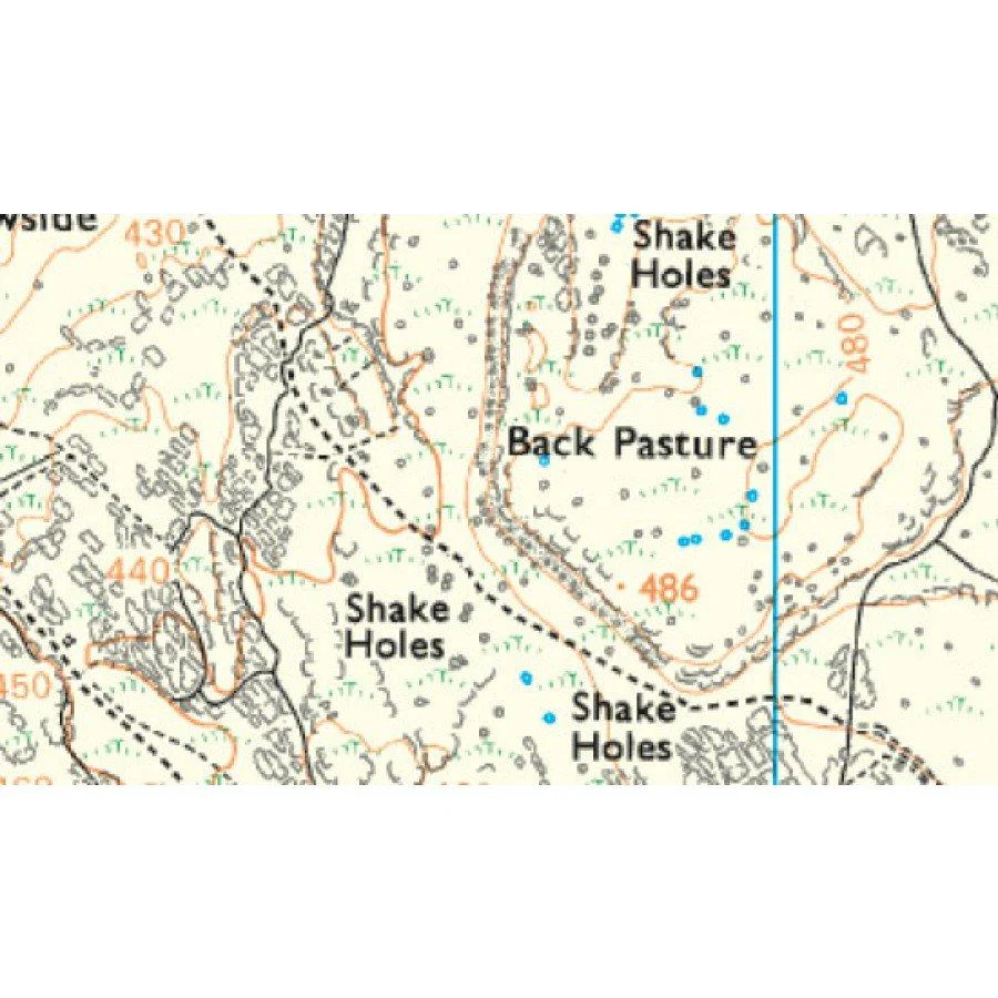
Map sheet number OL2 in the OS Explorer map series is the ideal map to use when exploring the South and West areas of the Yorkshire Dales including Whernside, Ingleborough and Pen-y-ghent. Highlights: The Yorkshire three peaks, The Devils Bridge at Kirkby Lonsdale, Leeds to Liverpool Canal at Skipton, The Pennine Way, Settle, and Old Town.
With this map you will receive a code for use on your iOS or Android smartphone or tablet, simply download the OS app from the app store for free enter the unique code on your map and you're ready to go!
Please note we can not accept maps which have had the panel covering the unique code back for a refund or exchange.
- 1:25,000 Scale
- Publication Date: 10/06/15
More Images
Explorer OL2 Yorkshire Dales - Southern & Western Area Map
Map sheet number OL2 in the OS Explorer map series is the ideal map to use when exploring the South and West areas of the Yorkshire Dales including Whernside, Ingleborough and Pen-y-ghent. Highlights: The Yorkshire three peaks, The Devils Bridge at Kirkby Lonsdale, Leeds to Liverpool Canal at Skipton, The Pennine Way, Settle, and Old Town.
With this map you will receive a code for use on your iOS or Android smartphone or tablet, simply download the OS app from the app store for free enter the unique code on your map and you're ready to go!
Please note we can not accept maps which have had the panel covering the unique code back for a refund or exchange.
- 1:25,000 Scale
- Publication Date: 10/06/15
Product Information
Product Information
Shipping & Returns
Shipping & Returns
Description
Map sheet number OL2 in the OS Explorer map series is the ideal map to use when exploring the South and West areas of the Yorkshire Dales including Whernside, Ingleborough and Pen-y-ghent. Highlights: The Yorkshire three peaks, The Devils Bridge at Kirkby Lonsdale, Leeds to Liverpool Canal at Skipton, The Pennine Way, Settle, and Old Town.
With this map you will receive a code for use on your iOS or Android smartphone or tablet, simply download the OS app from the app store for free enter the unique code on your map and you're ready to go!
Please note we can not accept maps which have had the panel covering the unique code back for a refund or exchange.
- 1:25,000 Scale
- Publication Date: 10/06/15