Ultramap Lake District South East - 1:40,000
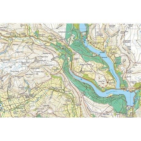
Detailed map for runners and walkers of the south eastern fells of the Lake District National Park at the magic scale of 1:40,000.
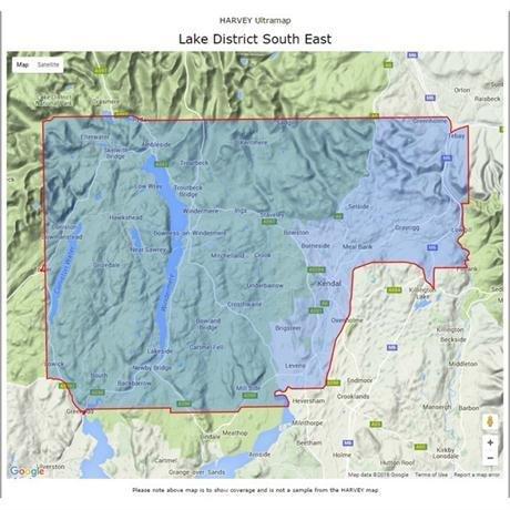
The map has Lake Windermere in the centre. Includes Ambleside, Coniston and Kendal and the superb mountain biking area of Grizedale Forest.
- Fully detailed genuine HARVEY mapping
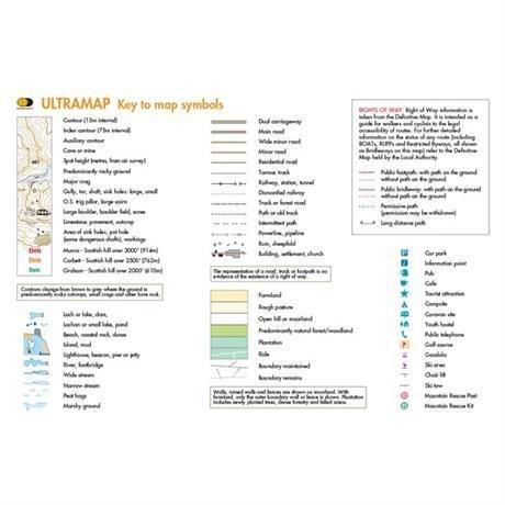
- Includes Rights of Way
- Use without a map case: tough and 100% waterproof
- Opens directly to either side of the sheet
- Scale: 1:40,000
- Ratio: 2.5cm = 1km
- Flat size: 870 x 304mm
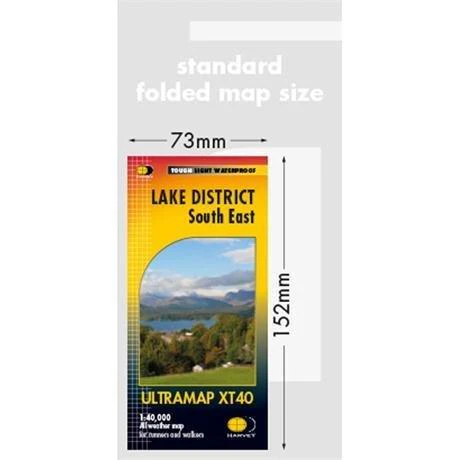
- Folded size: 73 x 152mm
- Weight: 25gms
- Area of mapping: 670sqkm
- Double sided
Original: $16.27
-65%$16.27
$5.69More Images

Ultramap Lake District South East - 1:40,000
Detailed map for runners and walkers of the south eastern fells of the Lake District National Park at the magic scale of 1:40,000.
The map has Lake Windermere in the centre. Includes Ambleside, Coniston and Kendal and the superb mountain biking area of Grizedale Forest.
- Fully detailed genuine HARVEY mapping
- Includes Rights of Way
- Use without a map case: tough and 100% waterproof
- Opens directly to either side of the sheet
- Scale: 1:40,000
- Ratio: 2.5cm = 1km
- Flat size: 870 x 304mm
- Folded size: 73 x 152mm
- Weight: 25gms
- Area of mapping: 670sqkm
- Double sided
Product Information
Product Information
Shipping & Returns
Shipping & Returns
Description
Detailed map for runners and walkers of the south eastern fells of the Lake District National Park at the magic scale of 1:40,000.
The map has Lake Windermere in the centre. Includes Ambleside, Coniston and Kendal and the superb mountain biking area of Grizedale Forest.
- Fully detailed genuine HARVEY mapping
- Includes Rights of Way
- Use without a map case: tough and 100% waterproof
- Opens directly to either side of the sheet
- Scale: 1:40,000
- Ratio: 2.5cm = 1km
- Flat size: 870 x 304mm
- Folded size: 73 x 152mm
- Weight: 25gms
- Area of mapping: 670sqkm
- Double sided